Jbel Tissouka
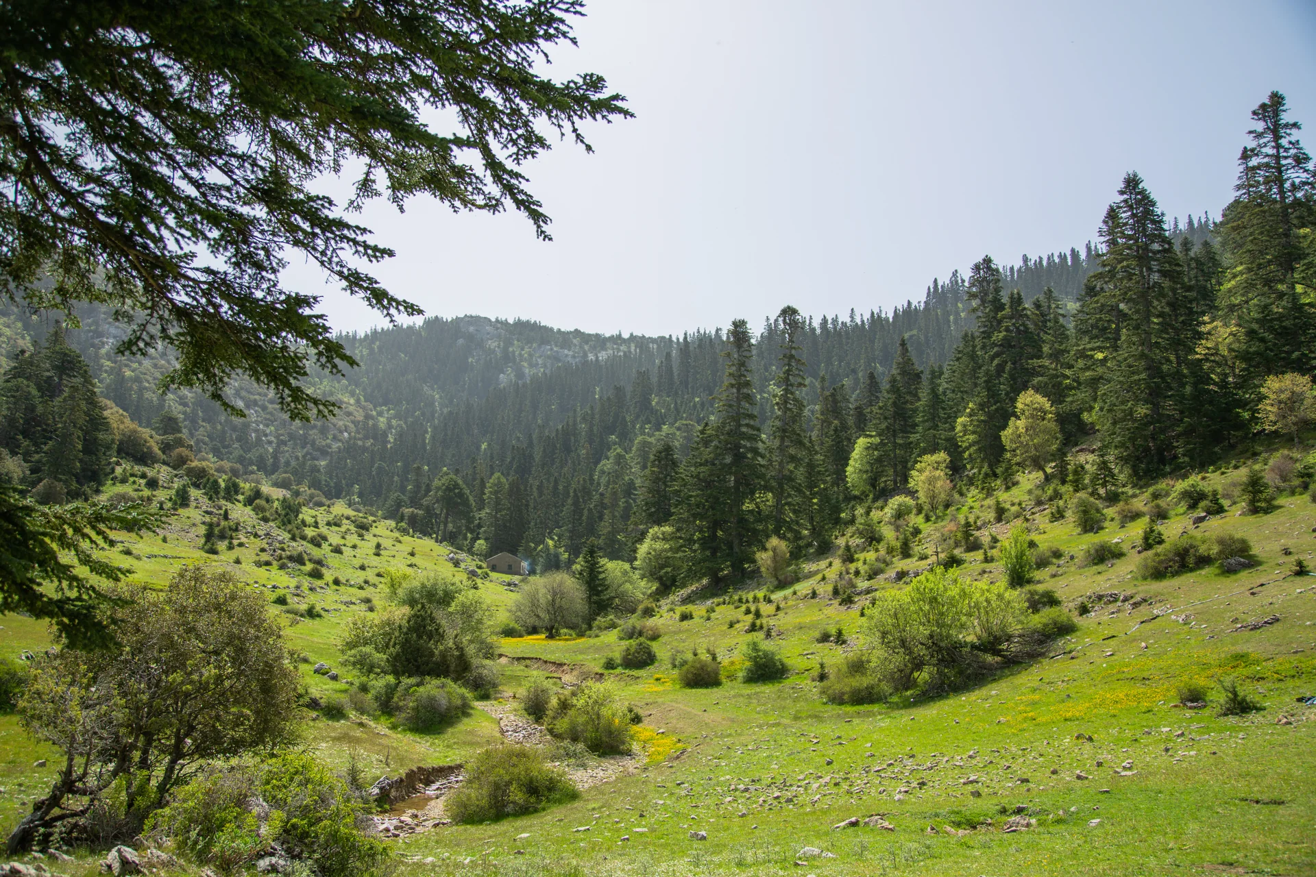
2122 mThe second-highest peak of the western Rif and of Talassemtane park after Jbel Lakraa, one of its hardest and most beautiful.
Mountain guide
In Chefchaouen province, the mountains are the backbone of the land: borders between tribes, pastures, forests, valleys and old paths between villages. Here is the highest peak of each tribe, and the peaks two tribes share.
Talassemtane and around
The second-highest peak of the western Rif and of Talassemtane park after Jbel Lakraa, one of its hardest and most beautiful.
The heart of the park and the mountain that gave it its name. Its famous outline is seen from the southern entrance via Bab Taza.
A wooded limestone mountain of Beni Selmane, in Ghomara country, at the eastern entrance of Talassemtane park.
A Beni Bouzra mountain overlooking the Mediterranean coast between Tétouan and El Jebha, with dark metamorphic rock.
In the southern part of Bouhachem park. Leo Africanus mentions it in his “Description of Africa” as Jbel Beni Jbara.
On the eastern edge of Chefchaouen province before Al Hoceima, where the western Rif meets the central Rif.
Villages and places
On the slope of Jbel Lakraa in Bab Taza commune, in upper Akhmas country. Locally pronounced “Magou”.
A Ghomara village at the springs of the Adelmane river, a tributary of the Kanar, in the heart of Talassemtane park.
On provincial road 4105 between Oued Laou and Dar Akoubaa, among oak forests. The finest waterfall is on the Abiati river.
The southern part of Bouhachem natural park: mountains cover about 87% of the commune and natural forest about 57%.
A Ghomara coastal village in Amtar commune: an old harbour and a quiet Mediterranean beach.
Tell Imad which peak or village interests you and your level, and he will suggest the right route, in a group of 1 to 12 people.