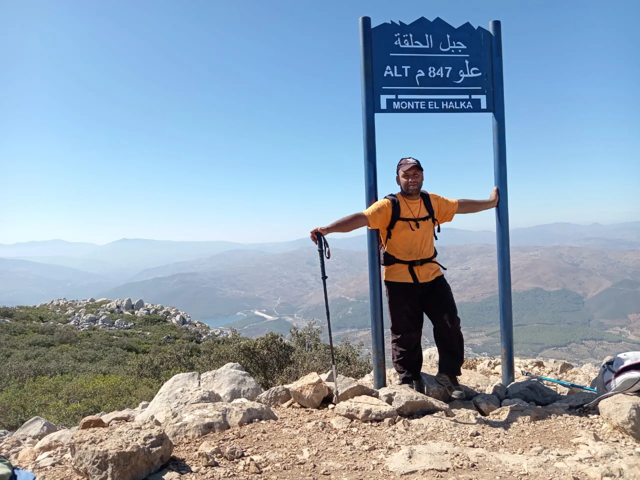
The western Rif, and the Tetouan and Chefchaouen mountains in particular, holds some of the richest landscapes in Morocco while remaining one of the relatively least crowded mountain destinations compared with places like Toubkal and Ouzoud. Peaks above 2,100 m, centuries-old villages and forests that are still untouched, far from the noise of the famous destinations: this is what makes the region a special nature destination in the north of the kingdom.
In my encyclopedia, rando.ma, I document this mountain country methodically: a digital encyclopedia covering 34 mountains and summits and 38 villages and communes in the provinces of Tetouan and Chefchaouen, with their altitudes, tribal and administrative ties and nearby places. In this article, I guide you to the main destinations, the best times to visit, photo tips and the heritage hidden in every mountain and village name, along with practical planning tools before you set off into the nature of northern Morocco (maroc nature).
Key takeaways from this article
- The highest peaks in the region: Jbel Lakraa in Chefchaouen reaches 2,159 m and Jbel Kelti in Tetouan 1,926 m, with dozens of summits worth discovering in between.
- The two best seasons to visit: March to May for green slopes and waterfalls, and September to October for dry paths and mild weather.
- Living tribal heritage: every village or mountain name carries the memory of a tribe, a family or a saint, and the map cannot be read without that context.
- Local mountain guiding: guide Imad Ben Yahya takes groups of 1 to 12 people in the Tetouan and Chefchaouen mountains.
What makes this region a gateway to Morocco's real nature?
Peaks and heights: figures from the ground, not from books
The highest summit in Chefchaouen province is Jbel Lakraa at 2,159 m, followed by Jbel Tissouka at 2,122 m and then Jbel Tizirane at 2,106 m. In Tetouan province, Jbel Kelti leads at 1,926 m. Many of those who head straight for Toubkal every year do not know these figures, which on their own are reason enough to stop and wonder about these northern mountains waiting in silence.
This is the heart of ecotourism in Morocco: the lesser-known places sometimes hold the deepest experiences. In these northern mountains, what the unmarked paths and the villages far from mass-tourism maps hide is worth a trip in its own right.
Biodiversity: Morocco's nature away from the noise
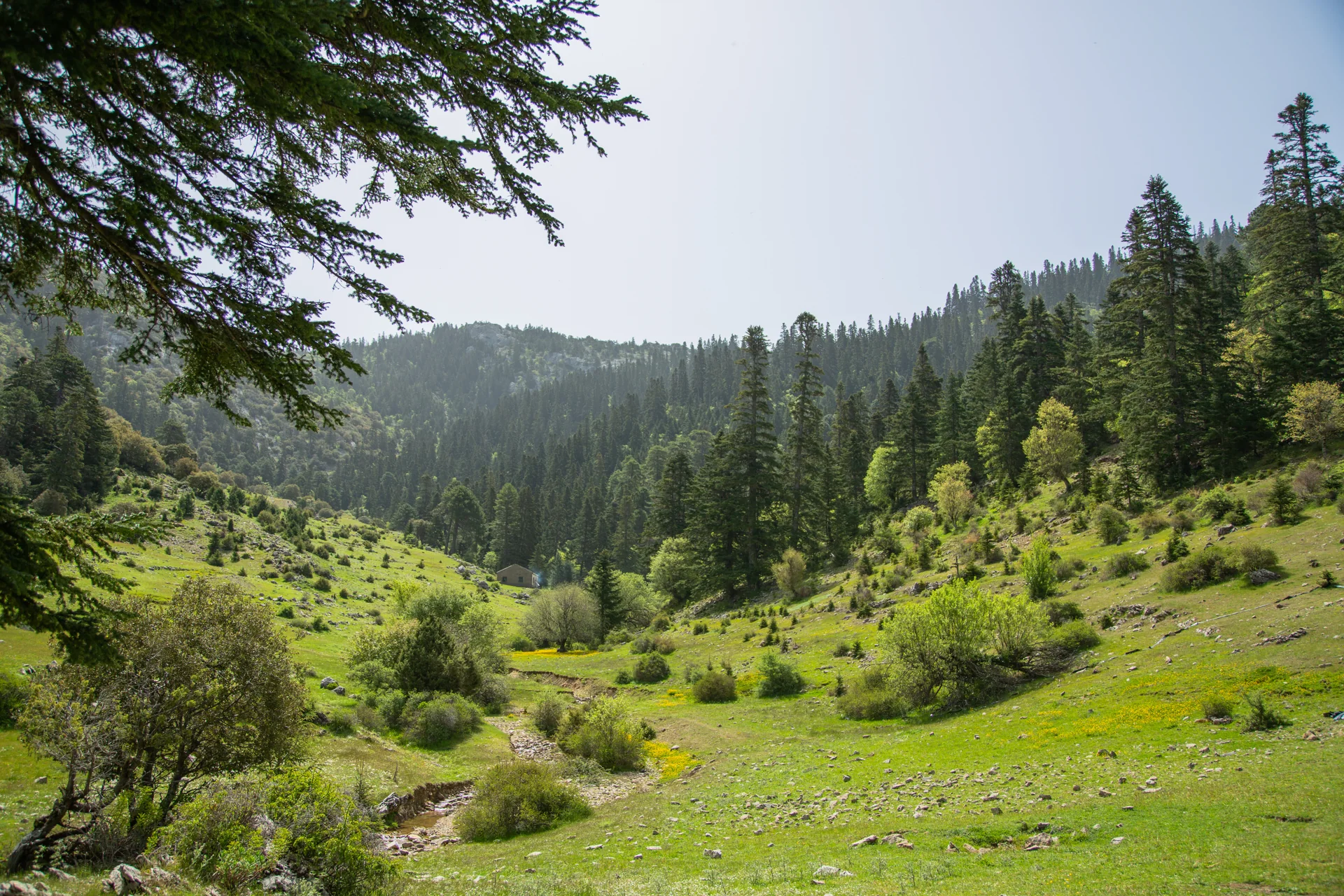
The plant cover of the western Rif differs fundamentally from much of Morocco. Mixed forests hold species such as cedar, oak and cork oak, alongside varied wildlife living quietly away from the pressure of mass tourism. Talassemtane National Park near Chefchaouen is a clear example: a reserve that brings together caves, valleys, cliffs and dense forests, and can be reached within a few hours from town.
This biodiversity does not just mean beautiful views. It means an experience that changes with every season, and a constant reason to return to the same area with different eyes.
Where exactly should you walk in these mountains?
Routes around Tetouan: from the neighbourhoods to the summits
Some Tetouan routes start right at the edge of town and head for the mountain, passing villages with old tribal ties such as the Beni Hassan, Beni Arous and Wadras. On these routes the villages are not places to pass through but places to stop and explore: different architecture, people with a close bond to their land, and stories you will not find in the usual tourist sources.
A practical warning: some of these paths are not clearly waymarked, as platforms such as Wikiloc and local visitors' reports confirm. Reading the detailed route data before you set off is not optional here; it is a necessity.
Chefchaouen and Talassemtane routes: where the forest swallows the path
In Talassemtane park, hiking routes range from easy to very hard. The God's Bridge route on its own suits a first visit. The full Akchour waterfalls route suits average fitness. Climbing Jbel Tissouka, at 2,122 m, requires serious preparation and specialist guidance.
What gives these routes their character is the dense vegetation, the light breaking through the trees and sounds quite unlike any mountain in the Atlas. On most of these routes, a map alone is not enough.
| Trail | Approximate length | Difficulty | Area |
|---|---|---|---|
| God's Bridge | about 3 km | Easy | Talassemtane, Chefchaouen |
| Akchour waterfalls and God's Bridge | about 9 km | Easy | Talassemtane, Chefchaouen |
| Jbel Lakraa summit | about 16 km | Hard | Talassemtane, Chefchaouen |
| Jbel El Kelaa from Chefchaouen | about 13 km | Hard | Talassemtane, Chefchaouen |
| Jbel Tissouka | about 14 km | Very hard | Talassemtane, Chefchaouen |
| Jbel Kelti | Varies with the starting point | Hard | Tetouan province |
All routes with their trail cards
When to visit the Tetouan and Chefchaouen mountains
Spring: Morocco's nature at its peak
From March to May these mountains become a different scene: green valleys, waterfalls full of water and wildflowers covering the slopes. Morning mist on the high peaks is a sight you will not see in summer, and it alone is worth a night in a mountain village and a dawn start. This period is also good for watching migrating birds, as the region lies on the migration routes between Europe and Africa.
Autumn: clean air and warm colours
From September to October the summer heat fades and the vegetation keeps its colour in mild temperatures. The paths are less crowded than in summer and the light is softer. The gold of the trees against the evergreen forests creates a striking mix that is hard to find in many other mountain destinations in Morocco. November usually brings more rain, which makes it suited to those who love the feel of the forest in late autumn, with the right preparation.
Above 1,200 m in winter, snow can fall, which turns this season into a completely different experience for those who value calculated risk and prepare well for it. This warning applies especially to the Tissouka and Lakraa routes.
What should you know about tribal heritage and plants before you go?
Tribes and villages: history in every name
The western Rif is not tribally uniform: it is the product of a mix of Jbala and Ghomara tribes, Andalusian migrations and Amazigh and Arab elements. Every village in Tetouan and Chefchaouen provinces carries its belonging in its name: 'Beni' points to tribal lineage, names linked to saints keep a religious and social memory, and geographic names describe people's relationship with their land. Reading the map properly means understanding what you see, not just recording coordinates.
On rando.ma I build on this data: every summit and every village in my encyclopedia is linked to its tribal and administrative belonging, because a mountain cannot be understood apart from the people who lived around it, named it and walked its paths for centuries.
Medicinal and aromatic plants: what you smell before you see it
The forests of the western Rif hold some of the most authentic plant life in Morocco. Wild thyme, pennyroyal, rosemary (azir), lavender and sage: plants local communities have used for centuries. You will often smell them before you see them, especially when the air is damp early in the morning.
The environmental rules are clear: these plants are not for picking. Staying on the permitted paths protects what you came to see and makes sure those who come after you find what you found.
How to photograph Morocco's nature in the Rif like a pro
The best photo spots: summits, villages and valleys
High summits at dawn or just before sunset give a soft light that draws the slopes with unusual shadows. Mountain villages offer material no studio can: architectural details, authentic daily life and natural colours that need no editing. The valleys and forests of Talassemtane park, where light breaks through the trees, need patience and timing more than expensive gear.
Light, seasons and common mistakes
The most common mistake among first-time visitors to the area: shooting at midday. The light at that time is harsh, flattens the landscape and wipes out detail. The season decides the picture you come away with: spring gives you a green full of life, autumn a warm gold.
One tip is enough: walking early solves the light and the crowds at the same time, and gives you the summit or the valley before anyone else gets there.
And as soon as you put the camera down, another challenge begins: how do you turn what you saw into an organised trip you can repeat? This is where good planning becomes a natural extension of the experience on the ground.
How to plan your trip with rando.ma's tools
Planning sheets and the interactive height ladder
rando.ma offers ten free printable planning sheets (PDF sheets): a packing list, trail cards, an emergency card and a hiking logbook, in three languages. On top of that, the interactive height ladder shows every known summit on one scale, with a detailed page for each, so you know what you will find before you leave home.
Download the free planning sheets
Guided outings with Imad Ben Yahya: for small groups
Imad Ben Yahya is a mountain guide working in the Tetouan and Chefchaouen mountains, taking groups of 1 to 12 people.
Request an outing in the Tetouan and Chefchaouen mountains
Start your trip before it ends
The Tetouan and Chefchaouen mountains are not a destination you visit quickly and forget. They are a region read layer by layer: summits that form the highest ground of the western Rif, villages whose names keep a tribal memory built up over generations, and forests living at their own pace, away from the noise of mass tourism. Morocco's nature in this particular region does not reveal itself to those who only pass through.
Those who come with a prepared eye and accurate information leave with a completely different experience from those who come at random. Good preparation does not shrink the experience; it opens up what would have stayed hidden behind the trees, the names and the unmarked paths.
Download the free planning sheets (PDF sheets) from rando.ma and use the interactive height ladder to choose where to go. If you are looking for a guided discovery trip into the nature of northern Morocco (maroc nature), contact Imad Ben Yahya to arrange an outing that suits your group's size and experience. The mountain will not change before you arrive; the whole difference lies in how you prepare.
FAQ
Do we need a local guide to climb peaks like Tissouka or Lakraa?
I recommend going with a local guide for hard peaks such as Tissouka and Lakraa. Guide Imad Ben Yahya takes groups of 1 to 12 people, and climbing high summits requires preparation and specialist guidance, as the route descriptions state.
Do I need a guide to go up Jbel Tissouka or Lakraa?
Yes, I recommend specialist guidance for climbing Jbel Tissouka and high peaks such as Lakraa. These routes need serious preparation, some are very hard and some are not clearly marked, so going with a guide makes it safer and makes the route easier to read on the ground.
How do I find my way on unmarked paths without getting lost?
I advise reading the route's detailed data before you set off and using visitors' reports and the trail platforms available. Some paths around Tetouan and Chefchaouen are not clearly marked, so preparing in advance and learning from others' experience are essential.
When is the best time to get good photos in these mountains?
The best times for photography are spring, March to May, and autumn, September to October, and an early walk at dawn gives the best light. Avoid shooting at midday, as the harsh light wipes out detail; dawn or sunset bring out the shadows and natural textures of the landscape.
Can we find snow in the Tetouan and Chefchaouen mountains?
Yes, above 1,200 m snow can fall in winter. It transforms the experience and adds risk on some hard routes such as Tissouka and Lakraa, so you need to prepare and keep an eye on changing weather.